Bellingcat Challenge #22 "Down by the Sea" Writeup
Table of Contents
This article was automatically translated from Japanese by AI.
Challenge
Bellingcat Challenge #22 “Down by the Sea”
This image was captured by Landsat 8, but uses a ‘band ratio’ instead of the visible light bands.
The band ratio is a way to combine two bands of the electromagnetic spectrum to highlight certain features.
But which features are highlighted? What is the ICAO code of the airport in this image?
Solution
I read the Bellingcat article linked from the challenge, Seeing More With Satellite Imagery Using Band Combinations, Ratios and Indices.
The example that most closely resembles the challenge image is the case study on bauxite mining. It uses band ratios that highlight ferric iron oxides and kaolinite to visualize possible bauxite mines and traces of pollution flowing from rivers into the sea. I therefore assumed that the challenge image similarly showed runoff of ferric iron oxides and other materials associated with bauxite mining.
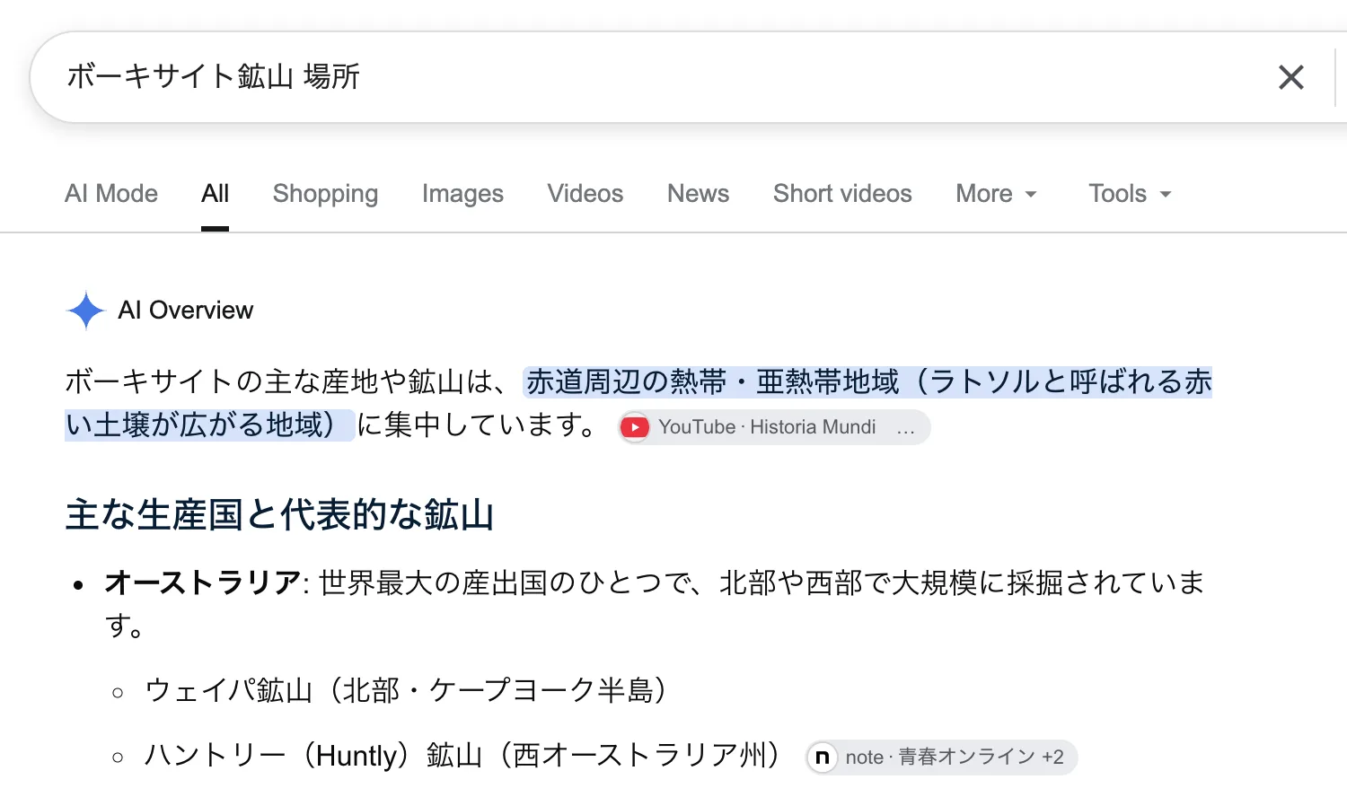
I searched for "ボーキサイト鉱山 場所" (bauxite mine locations) and checked the mines in the results individually. The first result, Weipa Mine, happened to be the correct one, allowing me to identify the airport in the image as Weipa Airport.
Searching for "Weipa Airport icao" shows that its ICAO code is YBWP.
Flag
YBWP