Bellingcat Challenge #22「Down by the Sea」Writeup
目次
問題文
Bellingcat Challenge #22「Down by the Sea」
This image was captured by Landsat 8, but uses a ‘band ratio’ instead of the visible light bands.
The band ratio is a way to combine two bands of the electromagnetic spectrum to highlight certain features.
But which features are highlighted? What is the ICAO code of the airport in this image?
解法
問題文にあるBellingcatの記事Seeing More With Satellite Imagery Using Band Combinations, Ratios and Indicesを読みます。
記事内で問題画像に最も近い可視化は、Bauxite Miningに関する事例です。この事例では、ferric iron oxidesやkaoliniteを強調するband ratioによって、ボーキサイト鉱山の候補や河川から海へ流れ出す汚染の痕跡を可視化しています。問題画像も同様に、Bauxite Miningに関連したferric iron oxidesなどの流出を示していると仮定しました。
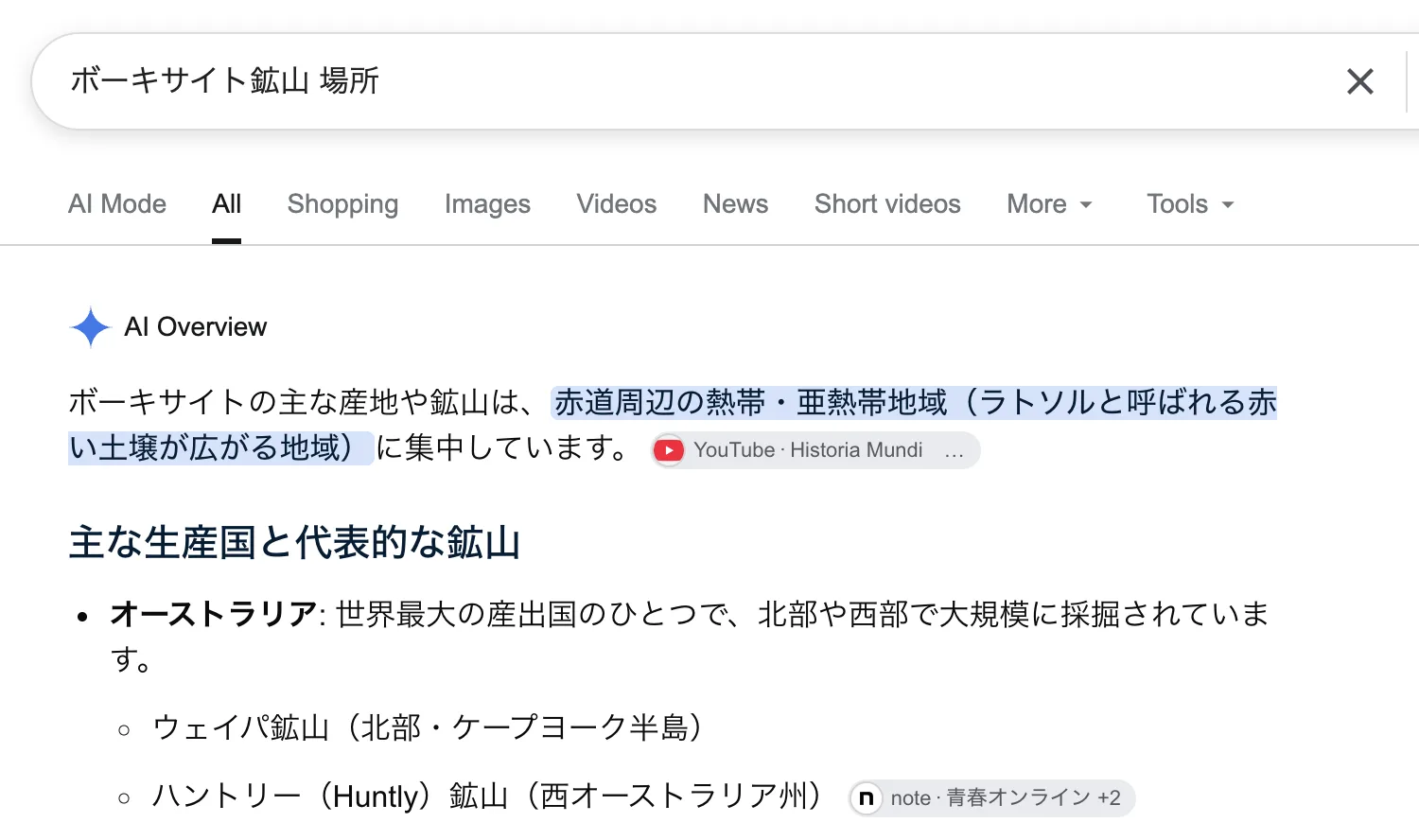
"ボーキサイト鉱山 場所"で検索し、見つかった鉱山を個別に確認します。検索結果の1つ目に出てきた「ウェイパ鉱山」でたまたま当たりを引き、画像内の空港をWeipa Airportだと特定できました。
"Weipa Airport icao"で検索すると、ICAOコードがYBWPだとわかります。
Flag
YBWP