Bellingcat Challenge #107 "Internal Displacement" Writeup
Table of Contents
This article was automatically translated from Japanese by AI.
Challenge
Bellingcat Challenge #107 “Internal Displacement”
What is the date of the earliest image of the encampment in Google Earth? Answer format DD/MM/YYYY.
Solution
Searching for terms such as "Syrian Civil War tent city into border town" leads to Atmeh. A Channel 4 News video provides the following description:
More than three million people fled from towns in Syria and moved to places like Atme. Over time the tents for the displaced became cement houses and have now transformed into cities.
Google Earth’s Historical Imagery shows white structures resembling tents in the image dated November 4, 2012.
Flag
04/11/2012
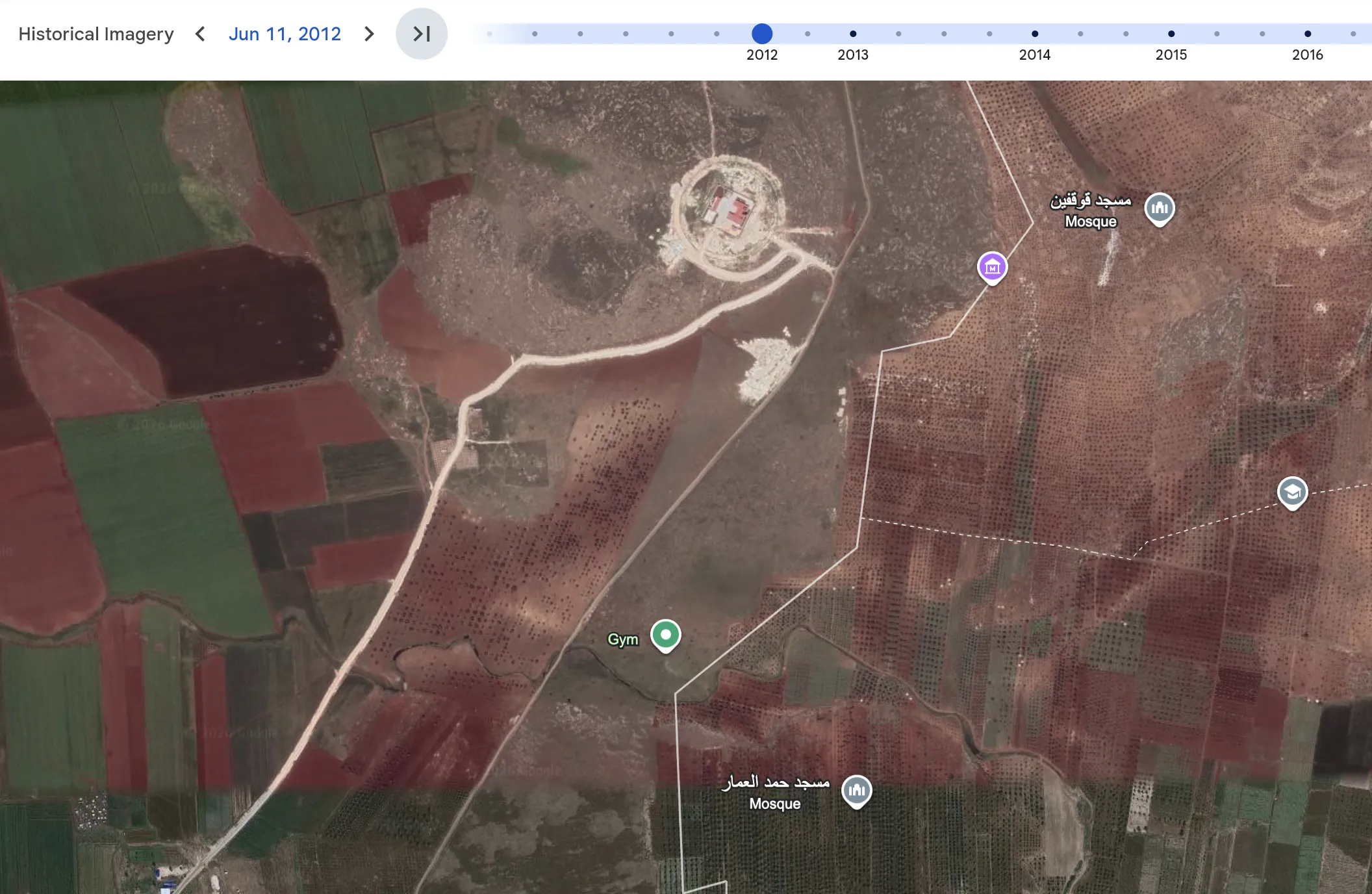
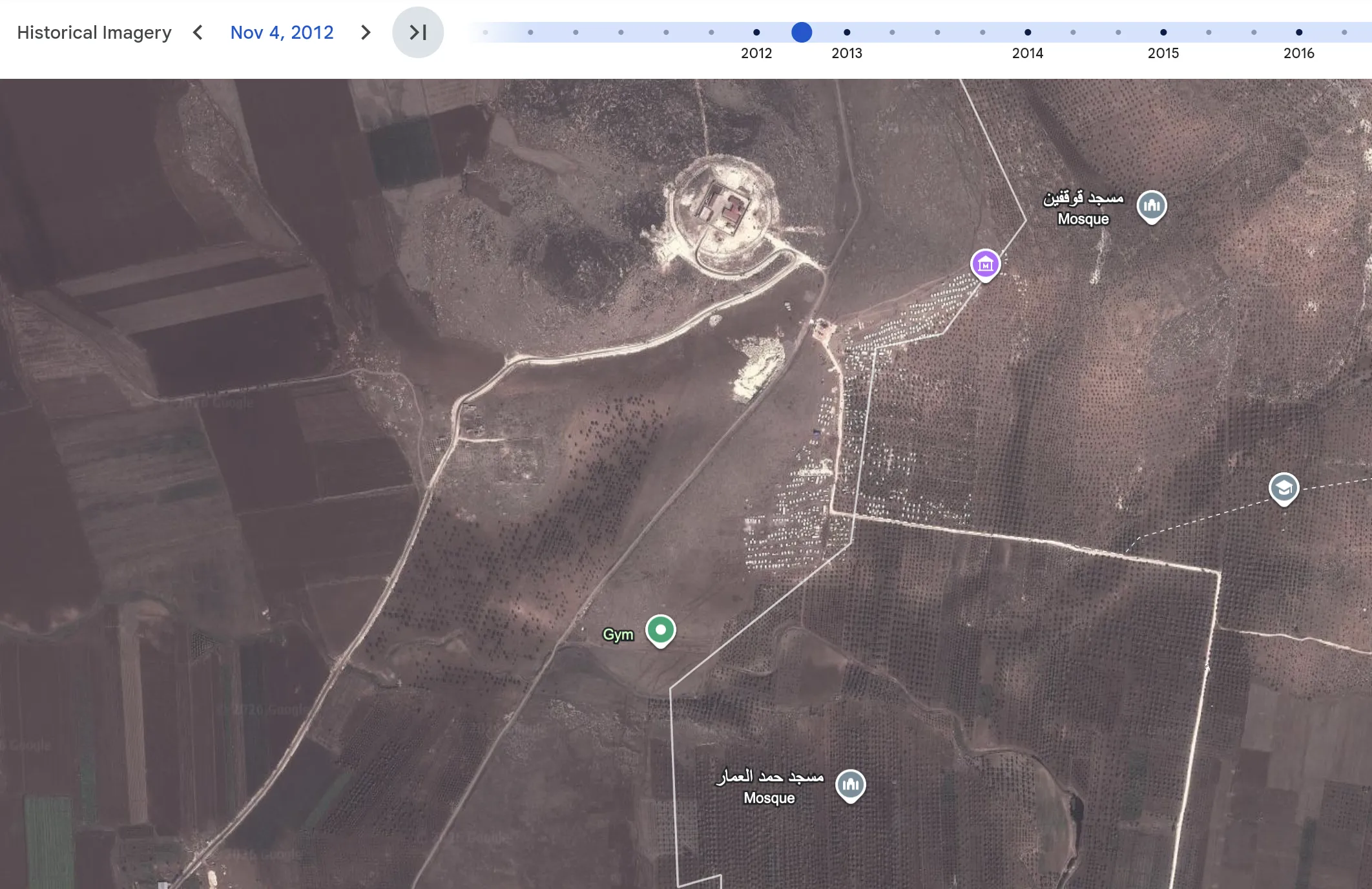
Source: Google Earth, September 8, 2026