Bellingcat Challenge #108 "Polderdash!" Writeup
Table of Contents
This article was automatically translated from Japanese by AI.
Challenge
Bellingcat Challenge #108 “Polderdash!”
What is the identifier of this highlighted polygon?
Solution
With no obvious clues beyond what looked like long, narrow fields, I searched for terms such as long and thin farm satellite imagery. I found a NASA article and looked around Poland, but could not find the location.
The title, Polderdash!, suggested polders, or reclaimed land. Searching for terms such as "Polder long and thin farm satellite imagery" led to an aerial photograph of polder farmland in Waterland, showing that similar landscapes also exist in the Netherlands.
I then searched extensively on Google Maps. There were not many areas with fields as long, narrow, and regular as those in the challenge image, so I searched while zoomed out and eventually found Stolwijk, visible on the right side of the image.
I could not find the identifier on Google Maps, so I used the Google Earth feature mentioned in the challenge. Under Add Data Layer, I searched for Identifier and displayed Postal codes. The same polygon as in the challenge image appeared, and I submitted its postal code, 2821 NV.
Flag
2821 NV
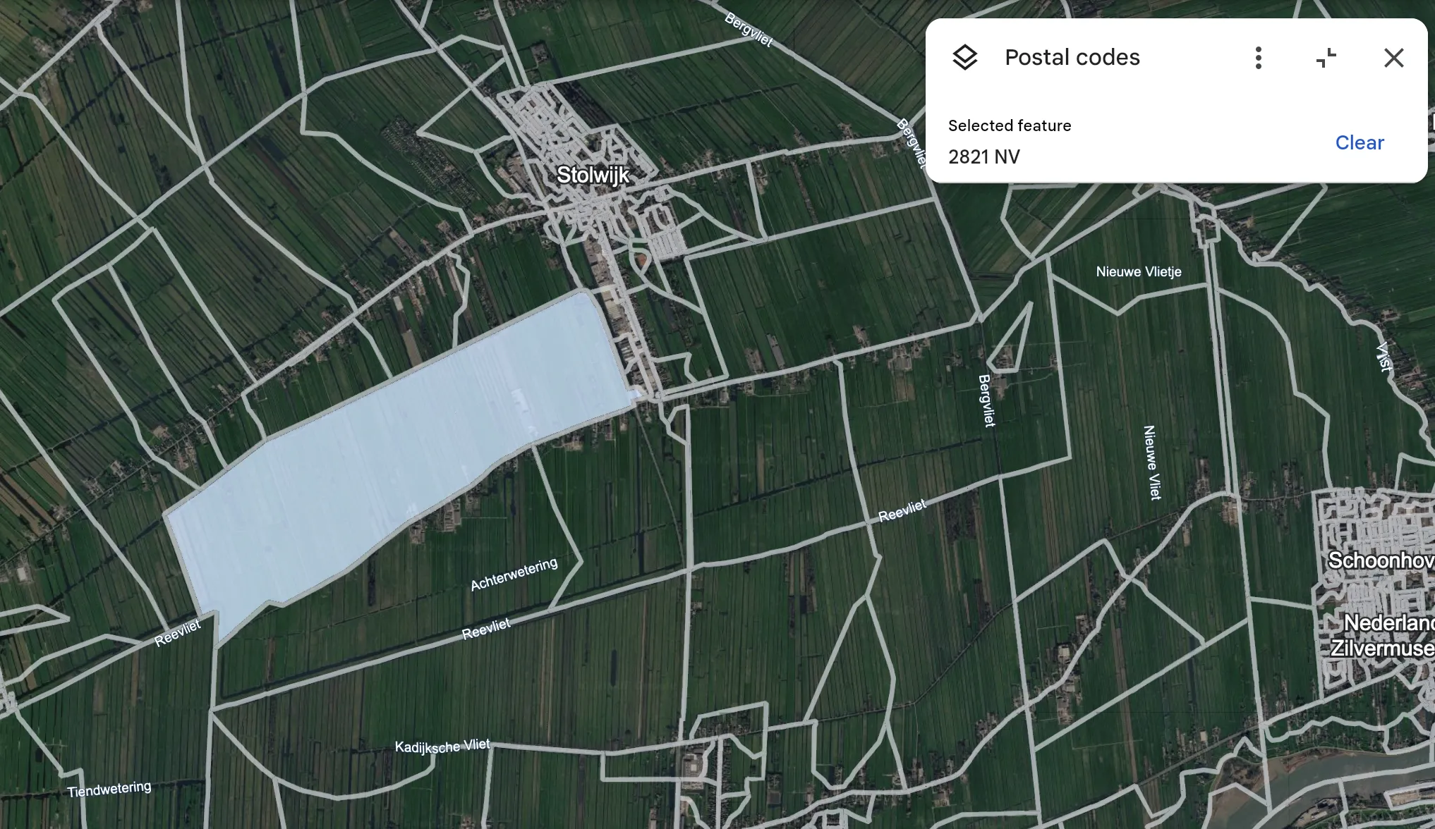
Source: Google Earth, September 8, 2026